Monday, August 29, 2016

Day 15, Monday, August 29, Salt Lake City, Nephi, Zion National Park

We rose this morning, scrambled some eggs and packed up to leave Salt Lake City. We left the hotel at 9:00 am so that we could be at the opening of the Botanical Garden. It is at the University of Utah and it is a nice garden. Not in the same league as the Missouri Botanical, but it is well worth the visit. We got some good ideas for our back yard.


After leaving the garden, we went to the Whole Foods Market at Trolley Square. T really wanted to find some pate. We did not find any but did pick up some essentials for our next four days in the "wilderness". We then proceeded to our favorite Utah State liquor store to get a couple more bottles of champagne. By that time it was 11:30 am and time to head toward Zion.

It was just over 300 miles and we stopped in Nephi for lunch at Michael's. This guys obviously has a toy train fetish as there were trains running all through the restaurant. The food was good and T actually was able to order some liver and onions. It made her day.

Trains at Michael's
The rest of the trip was uneventful. The scenery was desert, cedar and sage, with peaks on both sides. We passed a fire up on the west range.

Upon entering Zion, everything changed. We drove to the Lodge and got settled into our cabin.

Turn off I-15 toward Zion
At Zion Lodge

The elevation here at the lodge is about the same as Salt Lake City, around 4,300 feet. The temperature is 95F, but it is very dry and comfortable in the shade.


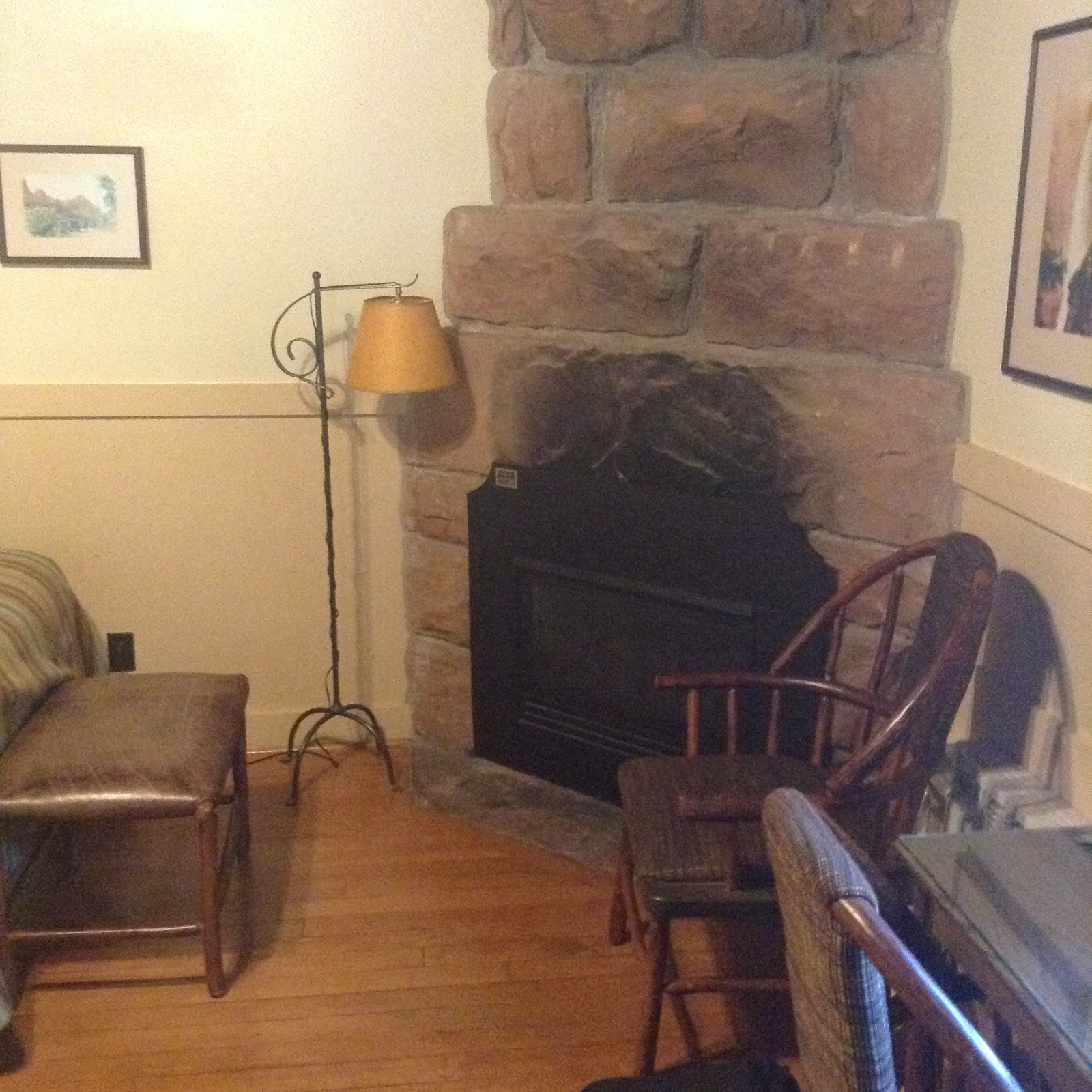
Our Cabin


Welcome to All

We took dinner at the lodge. T had trout and I had bison meat loaf. Both were very good.


Bison meatloaf
Trout
During dinner, we observed deer along with a herd of turkey crossing the grounds outside the restaurant. After dinner we strolled back to our cabin. On the way we crossed paths with the faun we had seen on the way to dinner. It had nestled down and was cleaning its fur. It showed no fear of us at all.


We took a couple more pictures as we walked back to our cabin.


We sat out on our porch for awhile, after returning to the cabin, until the flys became overly annoying. Tomorrow we relax and explore the Zion Park.

Sunday, August 28, 2016

Day 14, Sunday, August 28, Salt Lake City

We arose to another beautiful day. It was much clearer today and the Uinta Mountain range was easier to see. We scrambled some eggs in the room and set out for the Cottonwood Canyons. We went up both Big Cottonwood and Little Cottonwood. Being a Sunday, everyone not in church was up in the canyons.


Passing by Solitude Resort, our first stop was Brighton Resort at the top of the Big Cottonwood. They did not have the lifts going.
Brighton Ski Resort

On the way back down, we detoured up the Highway 190 up to the Guardsman Pass (elevation 9,750 feet).

Guardsman Pass looking toward Park City


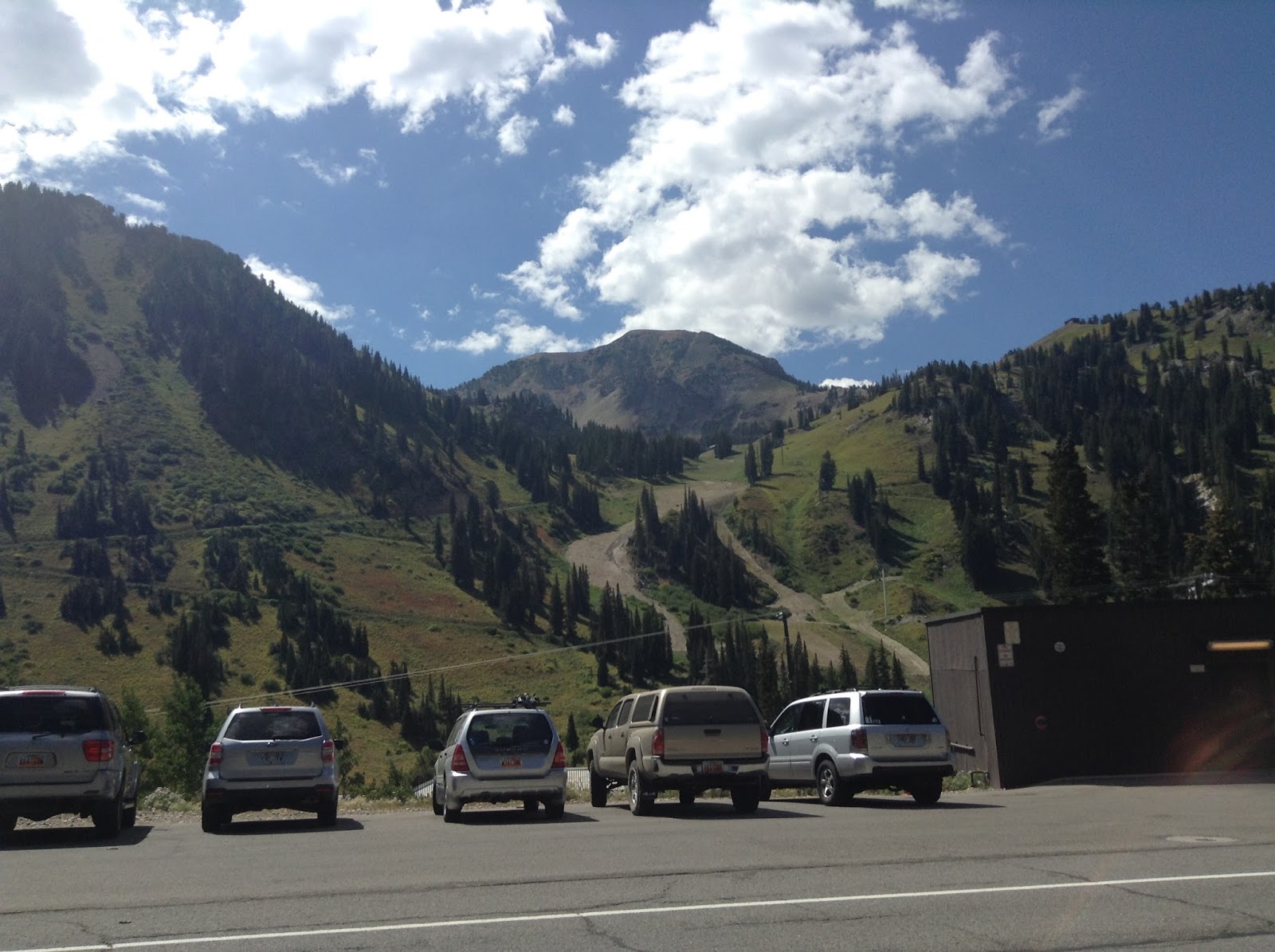
We went back down Big Cottonwood and over to Little Cottonwood. We drove up to the trail head of Catherine's Pass, over which one can hike about 4 miles over to Lake Catherine. The pass is above the Alta Ski Resort (elevation 9,500 feet). We passed Snowbird Resort on the way up. The lifts at Snowbird were running, but not at Alta.


Heading back down Little Cottonwood
Once back in Salt Lake City, we were going to have lunch at the Blue Iguana downtown. We fell in love with the Blue Iguana when we lived here. We believe we took Grandmother Howell there when she visited. To our disappointment, they did not open on Sunday until 4:00 pm (and it was only 2:00 pm). Instead, we settled for a nice lunch at the Olive Garden across the street.

Throughout South Dakota, Montana, Idaho and now Utah, we have been intrigued by a very tall (up to 6 feet) spiked plant with yellow flowers. T has determined it is a Mullein (Verbascum thapsus). It grows in full sun and poor, well drained soil. Through out the ages, is has been used for many medicinal uses including respiratory ailments, migraines, kidney infection, intestinal problems, bleeding, earaches, sinus problems, swelling, tumors, and ulcers. It is also known as "boy scout toilet paper" due to its soft woolly leaves. It might look good in the rock bed around our pond at home.

Mullein
Tomorrow we check out and head south to Zion National Park. We have a cabin for two nights in the park. Before we leave Monday morning, we might try to get over to the Red Butte Botanical Garden at the University. It is a 300 mile, 5 hour drive down to Zion.

Saturday, August 27, 2016

Day 13, Saturday, August 27, Salt Lake City

We have two full days to enjoy and remember our three years (2000-2003) in Salt Lake City. We really enjoyed Salt Lake. On the drive in yesterday from the north, we passed the five oil refineries, including Woods Cross where I worked. They still seem to be operating. Today, we arose and went to breakfast at the Blue Plate Diner before heading up into the Avenues to visit our old neighborhood and up to the capital building. We found our old neighborhood grocery and retraced the intricate paths we took between our house and the downtown area (lots of one-way streets in the Avenues)

State Capital  
At our old home, the front landscaping has been redone and they may have repainted the stone work around the windows. But otherwise, it is like we remembered it. I wish we could have gone inside. I am really curious whether or not any changes to the third floor have been made.

Our old home, 1015 1st Avenue
We noticed that they have installed an electric trolley system since we left. The overhead wires can be seen in the picture below.
The Temple
The Joseph Smith Memorial Building with a trolley sitting in front
 While getting late into the summer, the flowers at Temple Square still are beautiful.


We took the short guided tour of the Beehive house. Once again, they failed to convert either one of us.
Beehive House
We then roamed around the old ZCMI mall, now a modern outdoor mall across the street from Temple Square. We then went down the road to the Historic Trolley Square. On the way, T spotted a little shop catering to the cocktail trade. We stopped and she found some acrylic cocktail glasses, of various colors, that she thought would work well with our spa at home. The Trolley Square Mall is still there, with many of the same shops, but a lot of empty shops as well. We ate a light lunch at the Desert Edge Cafe and did a bit of grocery shopping at the Whole Foods Market. We then went back to the room to relax a bit. T has invited several of her friends to stop over for cocktails and conversation this afternoon.

Tomorrow the game plan is to visit the Cottonwood Canyons and perhaps the Great Salt Lake.

Friday, August 26, 2016

Day 12, Friday, August 26, Butte, Idaho Falls, Salt Lake City

We got off at 8:30 am this morning from Butte. It was another pretty morning with the temperature, at the time of our departure, of 46F. By the time we got to Salt Lake City, it was up to 86F. We took I-15 south through Idaho Falls where we stopped for lunch and gas. Then continued on I-15 all the way to Salt Lake. We arrived in Salt Lake City at 3:00 pm and checked into our hotel. Did not take any pictures during the drive but drove through some interesting terrain. Our hotel is in the foothills of the Wasatch range east of the city. We have a hazy view this afternoon of the Uinta Mountain range west of the city. We will be in town for three nights before leaving on Monday for Zion National Park. Mileage at the end of today is 3,3420.
Uinta Range from our hotel window

Thursday, August 25, 2016

Day 11, Thursday, Aug 25, Kalispell, Missoula, Butte

This morning we checked out of the Kalispell hotel and, before leaving town, toured the Charles Conrad Mansion. Charles Conrad (1850-1902) was essentially the founder of Kalispell. He originally grew up on a plantation in Virginia. During the civil war, his father presumably served with the Confederates. Charles, and his older brother William, served in the guerrilla cavalry of Mosby's Rangers. All three of the Conrad's survived the war and returned home to Virginia. With their plantation in ruins, the two brothers took a ferry from St. Louis up the Missouri River to Fort Benton, Montana Territory. Here they made their fortune in shipping, trading, lumber, mining, real estate, etc. It took three years to build their 13,000 sq ft, three floor, 26 room, 9 bedroom, three bath Norman-style mansion, completing it in 1896. It was electrified from the beginning using a hydroelectric nascent electric power system that Charles designed. That system brought power from a generator nine miles away solely to the Conrad home. The system was backed up by a carbide gas system.

It was a delightful tour. It started at 10:00 am and lasted about 90 minutes. We were able to go through 24 of the 26 rooms. The docent (Cindy) knew the material well and actually was a friend of one of the Conrad's children (Alicia) until she passed away in 1981 at the age of 89. No pictures were allowed inside the home. Other interesting aspects of the home included central heating (wood furnace generating steam for radiators throughout the house), an elevator, an intercom system, built-in fire hose systems on each level, hot and cold water flowing sinks (in the kitchen, the three baths and in each of the nine bedrooms), a conservatory, flush toilets and even cold water drinking fountains on the first and second floors. The cold water was generated by an ice box beneath the fountain. During its occupation, there were 12 inside and 12 outside servants. The original site was 76 acres (now it is three).

T joined the Fan Club and received an honorary air conditioner.


South Side of Mansion
East Side of Mansion


We finally drove out of Kalispell at 11:30 am and drove south on US-93 down to Missoula (home of Montana University). We passed the National Bison Range, but did not see a single buffalo. We ate lunch at the Five Guys hamburger joint before heading east to Butte. He got into Butte and our hotel at 4:00 pm.

Tomorrow we head south to Salt Lake City. It is just over 400 miles and we should be able to make it in just over six hours. We will be staying three nights in Salt Lake City. At the end of today, our total miles are up to 3,009.

Wednesday, August 24, 2016

Day 10, Wednesday, Aug 24, Kalispell, Libby, Eureka, Whitefish

We are at the half way point of our trip. The potential horse ride in Glacier National Park has fallen through. T sent them a message yesterday and they called back this morning saying they do not take reservations for the same day as the ride. Well, she sent the message yesterday. Anyway, they suggested we just drive up to the stable (an hour's drive at least) and perhaps there might be a vacancy. We decided to do something else instead.

Yesterday, we traveled east, taking a the loop through Glacier National Park. It was a 250 mile, seven hour tour. Today we thought we would just take a day of "rest" and strike out west to see parts of Montana not on the normal tour maps. Without doubt, there was much much less traffic although almost all of the trip was over two lane highways (at best). Today, overall, we traveled 300 miles over a seven hour span. So much for "rest". But it was beautiful and much more relaxing than yesterday.

It was 58F when we left Kalispell at 9:30 am and went west on US-2, driving along the north bank of the McGregor Lake, the Lower Thompson Lake, the Middle Thompson Lake, the Upper Thompson Lake, the Crystal Lake, the Loon Lake and several smaller lakes that did not have names displayed. The highway then turned north up toward Libby. We did not stop much. The high of the day reached 72F with partly sunny skies.

Lake McGregor
T noticed on the map that there was a ski area north of Libby, the Turner Mountain Ski Area (which was not identified by name on the map). We knew there was no snow skiing going on, but thought it would be nice to look at the resort itself. At Libby, we got on MT-37 going east and then quickly turned north onto MT-508 (which was not identified by name on the map). We drove about 25 miles and could actually see the ski runs coming down Turner Mountain. But, there were NO signs indicating where the ski area was located. As we drove up the mountain, the road became worse and worse. First, the center line disappeared, then the lines along the edge of the road disappeared. Then we seemed to stop going up and were going down again. This convinced us we had missed something so we turned around and backtracked. We had seen a road taking off from the highway that actually had a stop sign on it. We found it again and decided to take it. It started out as a one-lane gravel road and quickly became a rocky wagon trail. We took it about 1/2 mile before turning back. This turned out to be a National Forest Service access road (#4712, in case you ever get there). Going back to the "highway" and continuing to backtrack, we found a larger gravel road with an arrow pointing in its direction. No sign, just an arrow. There was a locked gate across this road. This we believe is the entrance to the ski area. When we got back to the hotel, we confirmed the area was closed for the season and obviously, they had taken down their signs to discourage unwelcome guest, like us!
NFS Road #4712 at 4,400 feet elevation


The excursion up to Turner Mountain added about 50 miles and 90 minutes to our trip. But, it was fun and there was no damage done. We saw a lot of turkey and deer.

We got back on MT-37 and followed the Kootenai River up to the Libby hydroelectric dam. North of the dam is the Koocanusa Lake. This lake is 90 miles long on the US side and extends at least another 30 miles into Canada. We stopped to visit the Visitor's Center at the Dam, but did not find it. We did find the restroom, which might have been the Visitor's Center.
Alexander Creek Visitor Center


View of the Kootenai River from the recreation area

Libby Dam
Libby Dam Spillway

Kootenai River from the Libby Dam 
Koocanusa Lake
We followed the lake up to where the highway met US-93, just north of Eureka, MT. We were only about six miles from the Canadian border but decided it was getting late and we would DO Canada another day. We headed south on US-93. Thankfully, the Montana speed limit seems to be 70 mph most places (even where you would not dream of going that fast). As we neared Whitefish, T noted there was a ski resort just north of that city. We wanted to see a ski resort so we diverted again. This time we were successful. The Whitefish Mountain Resort is open all year. The lifts were running but we did not go up to the summit. We did stop to take a photo of a deer standing out by a for-sale sign at one of the cabins. It seemed to have no fear of us.


At the end of today, we have logged 2,770 miles. Tomorrow we check out of Kalispell and head south. We will stay the night in Butte.